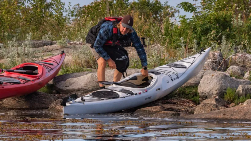
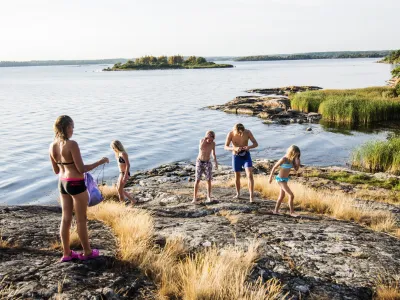
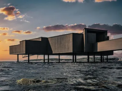
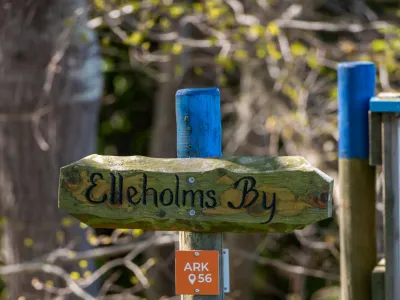
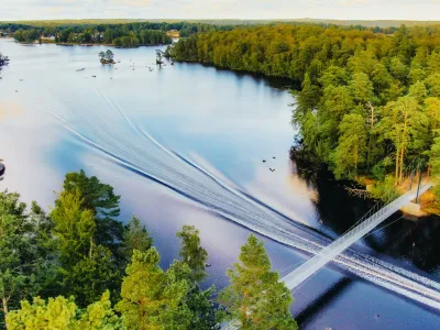
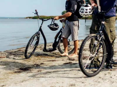
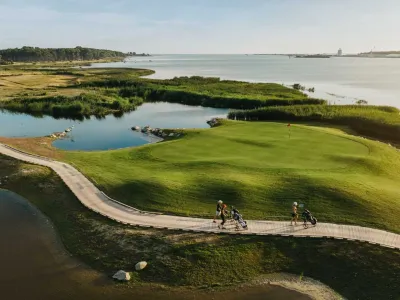
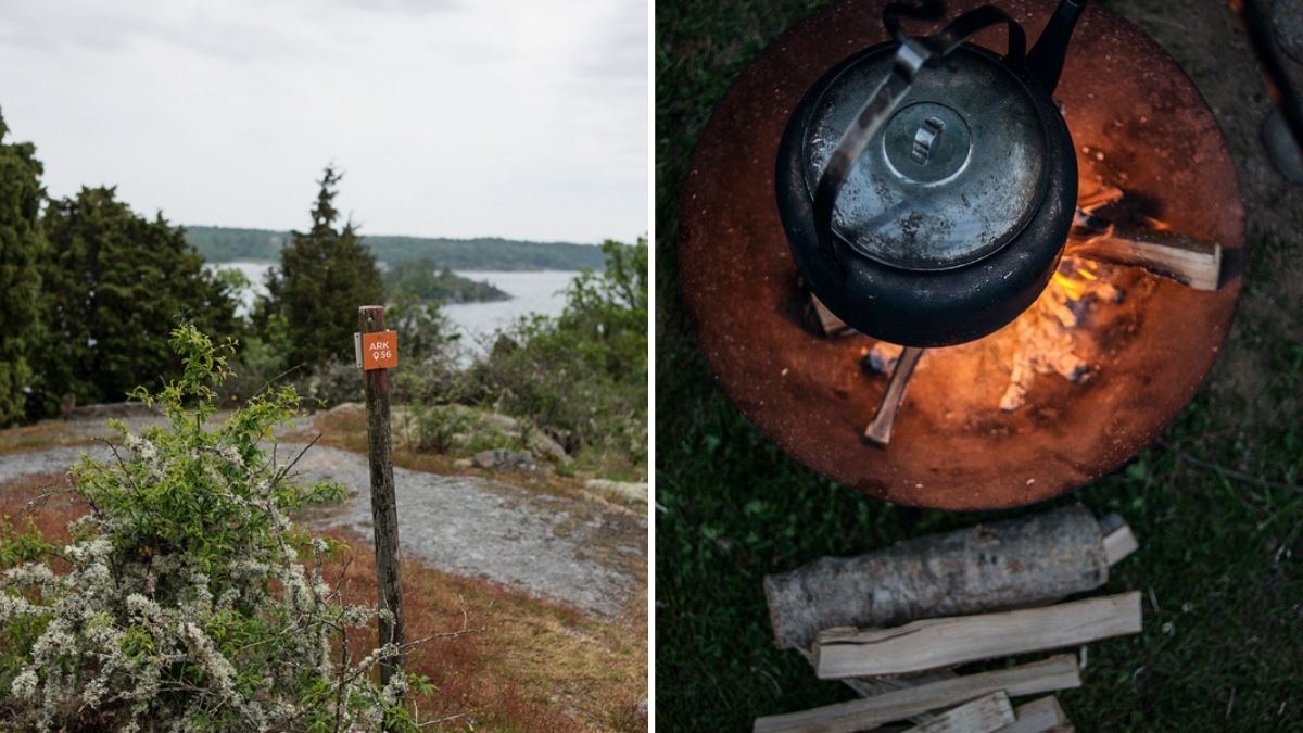
ARK56 is a connected trail system linking Blekinge’s coast and inland.
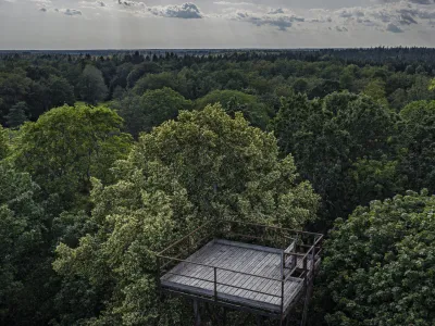
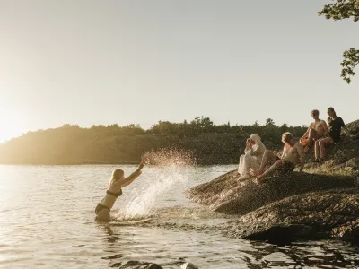
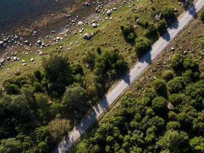
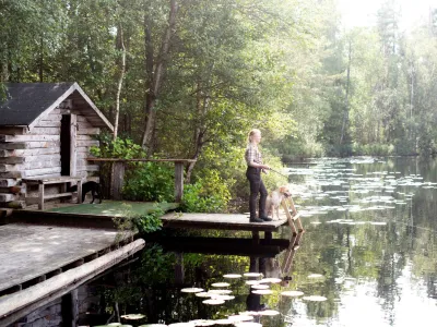
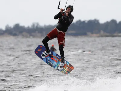
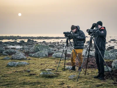
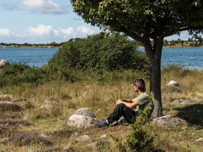
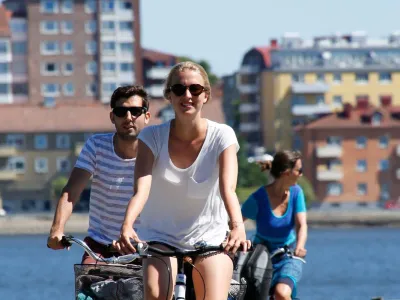
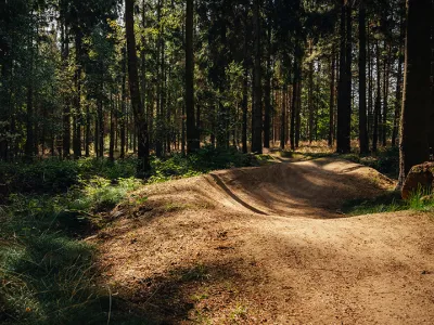
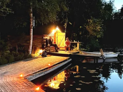
Hiking, paddling, cycling and boat connections come together in the same landscape, following forests, coastline and waterways. The trails lead straight into the biosphere reserve, making it easy to change activity along the way – from land to water, from movement to pause.
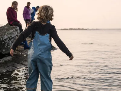
You decide what the journey looks like.
Starting point, direction and pace are adapted to you and the time you have. You can choose a short section or combine several parts over multiple days.
Go directly to the ARK56 map guide
Easy to plan – or decide along the way
With ARK56, you can plan ahead or let the journey take shape as you go.
In the app (available on the App Store and Google Play) and through downloadable GPX files, you get a clear overview of trails, routes and connections between land and water.
Along the routes, you’ll find accommodation, places to eat and spots to stop and rest, making it easy to adjust your plans when needed.
ARK56 provides structure – without locking the experience in place.
Explore ARK56 on Naturkartan