Youtube video fallback image

Explore Blekinge with ARK56 – the map where everything connects

With ARK56, you don’t just plan a route – you build your entire journey. Hiking, cycling and kayaking are connected in one system, where trails, hubs, accommodation, activities and events come together in an interactive map.

Everything connects – making it easy to explore Blekinge your way.

ARK56 Blekinge - sammanlänkade outdoorleder i södra Sverige


Plan directly in the map

In the interactive map, you can:

  • View the entire trail network
  • Switch between hiking, cycling and kayaking
  • Find hubs and services
  • Discover accommodation near your route
  • filter activities and events


Explore ARK56 in Blekinge Plan your route. Stay longer. Travel slower. Come closer.
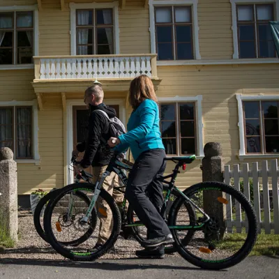


Start here – choose how you want to experience Blekinge

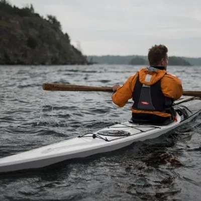
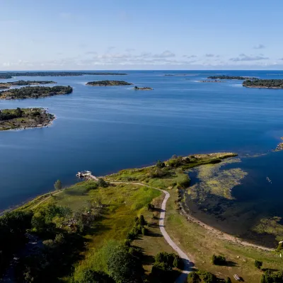
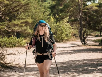
Walk along the coast and through forests on routes that fit your day, cycle between connected hubs and explore more of the landscape, or kayak through the sheltered archipelago with islands and calm waters.

Combine everything into one journey – without starting over.


Build your own journey – or choose a ready-made one

Hike, cycle or kayak – and combine it all into one journey. Prefer it simple? Choose a ready-made package where routes, accommodation and experiences are already planned.

Selected filters:

When exploring ARK56, you are part of nature.
Follow the right of public access, respect wildlife and leave no trace.


ARK56 banner gif