Sea, forest and lakes – all in one hike
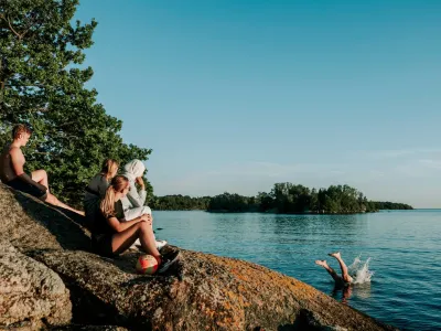
Walk through beech forests, beside shimmering lakes and onwards towards the sea. Distances are short in Blekinge, yet there is plenty to experience.
Choose a short walk for fresh air and new views, follow a trail for the day or set off on a longer adventure with accommodation, swimming spots and places to eat along the way.
Choose your route and come closer to Blekinge.
Blekingeleden – from day hikes to multi-day adventures
270 kilometres, 15 stages, approximately 8–34 kilometres per stage
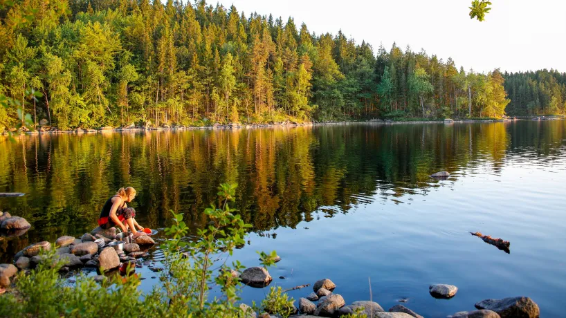
The Blekingeleden Trail crosses the region from west to north-east. Along the way, you will pass forests, lakes, nature reserves, villages and historic environments.
Choose one stage for the day or combine several stages into a longer hike. The distance and conditions vary between stages. Some are suitable for a day hike, while others may require more time or an overnight stay.
Access to drinking water, toilets, shelters, accommodation and shops also varies. Always check the latest information for your chosen stage and plan your food, water and overnight stays before setting off.
Plan your hike along the Blekingeleden Trail →
ARK56 – hiking near the coast and archipelago
Coastal trails, islands, hubs, food and accommodation
ARK56 is a network of trails and hubs throughout the Blekinge Archipelago Biosphere Reserve. Hiking, kayaking, cycling and boating come together here.
Walk along the coast, between small harbours or across one of Blekinge’s islands. Continue your trip by boat or combine it with a swim, a meal or an overnight stay close to the sea.
Use the ARK56 map guide to choose an area and explore trails, hubs and available services. Access to food, accommodation, drinking water and transport varies between locations.
Eriksbergsleden – a challenging coastal hike
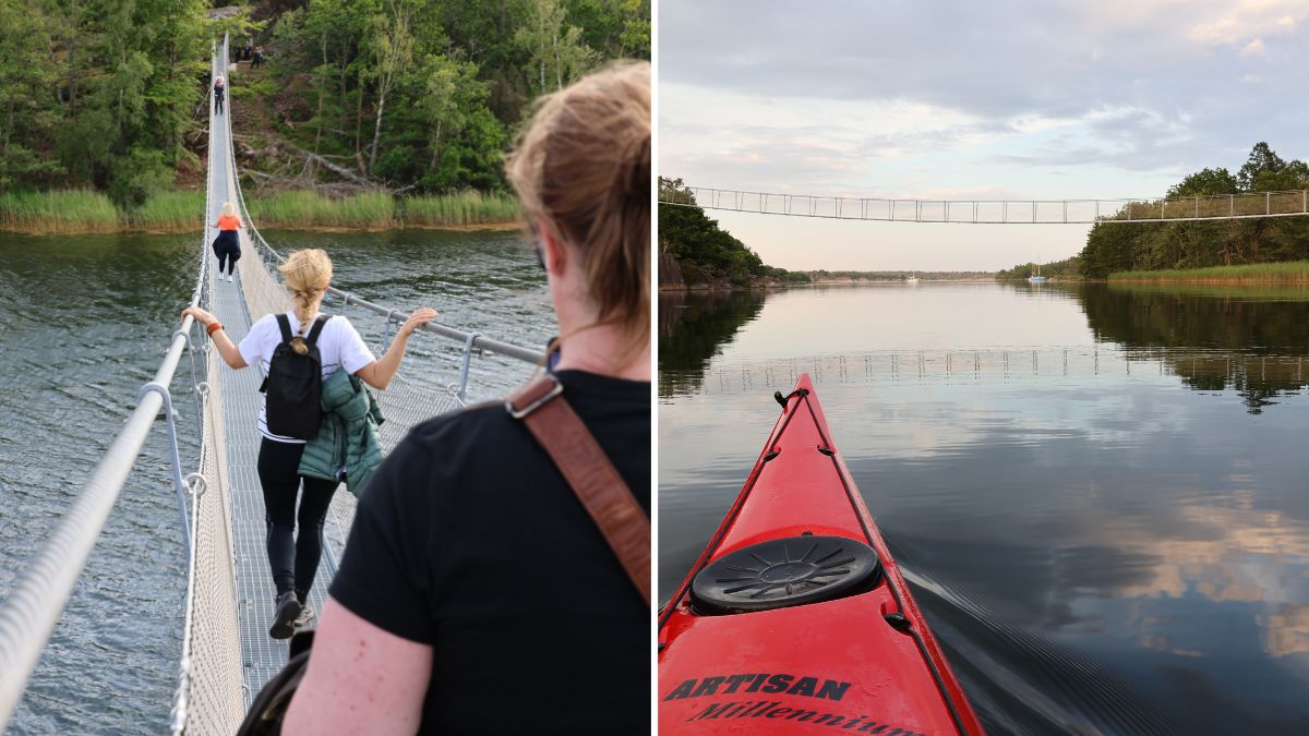
The Eriksbergsleden Trail is approximately 12.2 kilometres long and follows the shoreline of the Eriksberg Nature Reserve. The route crosses rocky terrain, deciduous and pine forests, bridges and wooden walkways close to the sea.
The terrain is hilly and challenging in places. Parts of the route follow the fence surrounding Eriksberg Wildlife Park. If you are lucky, you may spot red deer, fallow deer, European bison or mouflon inside the park.
Eriksbergsleden is a point-to-point trail rather than a circular route. Plan your transport between the start and finish before setting off.
Good to know about Eriksbergsleden
Distance: approximately 12.2 kilometres
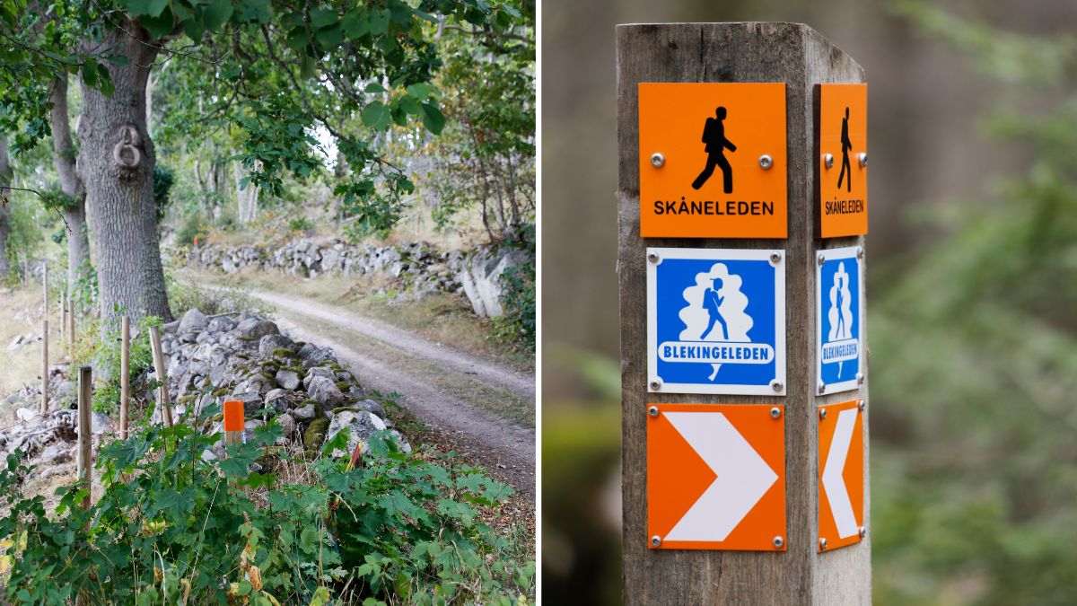
Trail markers: orange
Terrain: rocks, woodland paths, bridges and wooden walkways
Difficulty: challenging in places
Facilities: several picnic and barbecue areas
Route: point to point, not circular
Starting points: Björnahemmet and Outdoor Eriksberg
Plan your Eriksbergsleden hike →