Blekingeleden Olofstrom

  • Olofström
  • visit@olofstrom.se
  • <% getFormattedDate(occasion) %> <% setPopoverDateLabel(occasion) %>

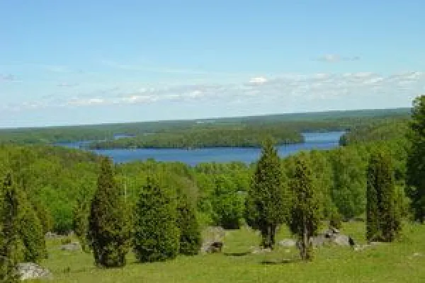
Blekingeleden connects to Skaneleden far west of Blekinge at Jämshög and Boafall 180 masl

Beskrivning

Blekingeleden connects to Skåneleden far west of Blekinge at Jämshög and Boafall 180 m. Above sea level. It runs initially through easy beech forest adjacent to the lake Halen to further north to cross through large spruce forest in hilly terrain. Full Blekingeleden from west to east is about 220km. Olofströms part is about 40 km. Overnight accommodations in the form of shelter you will find here and there. Suitable starting points are Boafall, Halens camping, Fritzatorpet, Slagesnäs (Galaxy), Kyrkhult and Hemsjö. Map material is available at the tourist office.

Tillfällen (<% occasionResult.length %>)