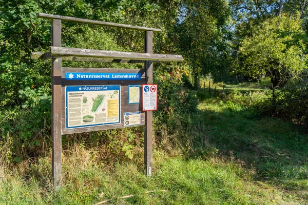
Listershuvud - Nature reserve
- Sölvesborg
- +46 456-81 61 81
-
<% getFormattedDate(occasion) %> <% setPopoverDateLabel(occasion) %>
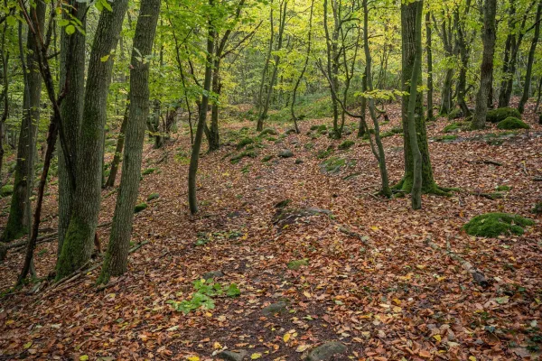
Listershuvud is one of Blekinge's largest nature reserve with an area of about 450 ha.
Beskrivning
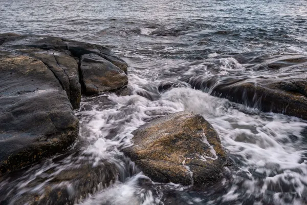
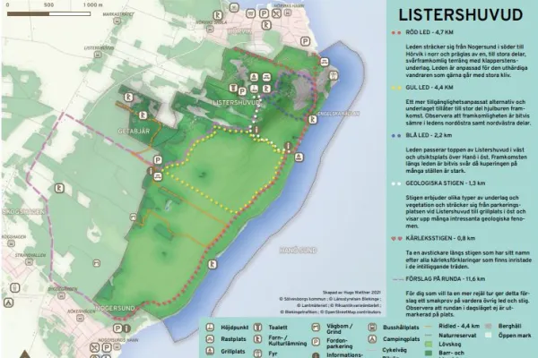
Listershuvud is Blekinge's largest nature reserve by area and consists of a 450-hectare area in the eastern part of Listerlandet. The nature reserve is located south of Hörvik and north of Nogersund. There are three recommended parking lots for the nature reserve, one is located in the northern part of Listershuvud along Huvudhallavägen. The second parking lot is located in the middle of the reserve south of Getabjär by a road that connects to Markasträtet and the third parking lot is located adjacent to Nogersund. Listershuvud Nature Reserve can be reached via the Listerlandet cycle path that passes west of the reserve.Listershuvud Nature Reserve has significant natural qualities for flora and fauna. This primarily applies geologically, biologically and ecologically as these natural qualities form the basis for the rich diversity found in the area. Geology is an important part of research into the history of the Baltic Sea as the prevailing geology is studied to map what has happened in the area during history. The biological and ecological values are found in the size of the continuous broadleaf forest in the area. The forest consists mainly of hornbeam, beech and oak and is an important place for both fauna and flora. The size of the reserve not only contributes to a rich animal and plant life in the reserve itself, but also affects the ecological values of the surrounding area. As the vegetation varies in the area, it gives rise to natural diversity for fauna and flora that would otherwise have difficulty surviving elsewhere.
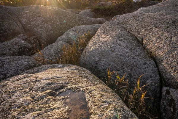
The nature reserve has an appealing landscape, cultural and historical values and is of great importance for outdoor life. Listershuvud's highest point is 84 meters above sea level and has interesting geological structures. In the area, 29 sea walls have been distinguished that run through the landscape. The lowest sea wall is called Litorinavallen and extends along the coast at a height of approximately 9 meters. Due to Listershuvud's geological structure, the rock has been eroded and has given rise to one of Sweden's largest natural cave systems. Within the reserve there are several hiking trails that make large areas within the nature reserve accessible. The routes run between Hörvik in the north and Nogersund in the south, with several other areas in between. Areas include Utterskärvet, Engelska källan and Listershuvud's dispatch point. Within the reserve there are marked riding trails that enable recreation from horseback.
Here you will find
Parking
Listerlandet cycling trail
Barbecue area, restaurant, viewpoint, hiking trail, riding trail